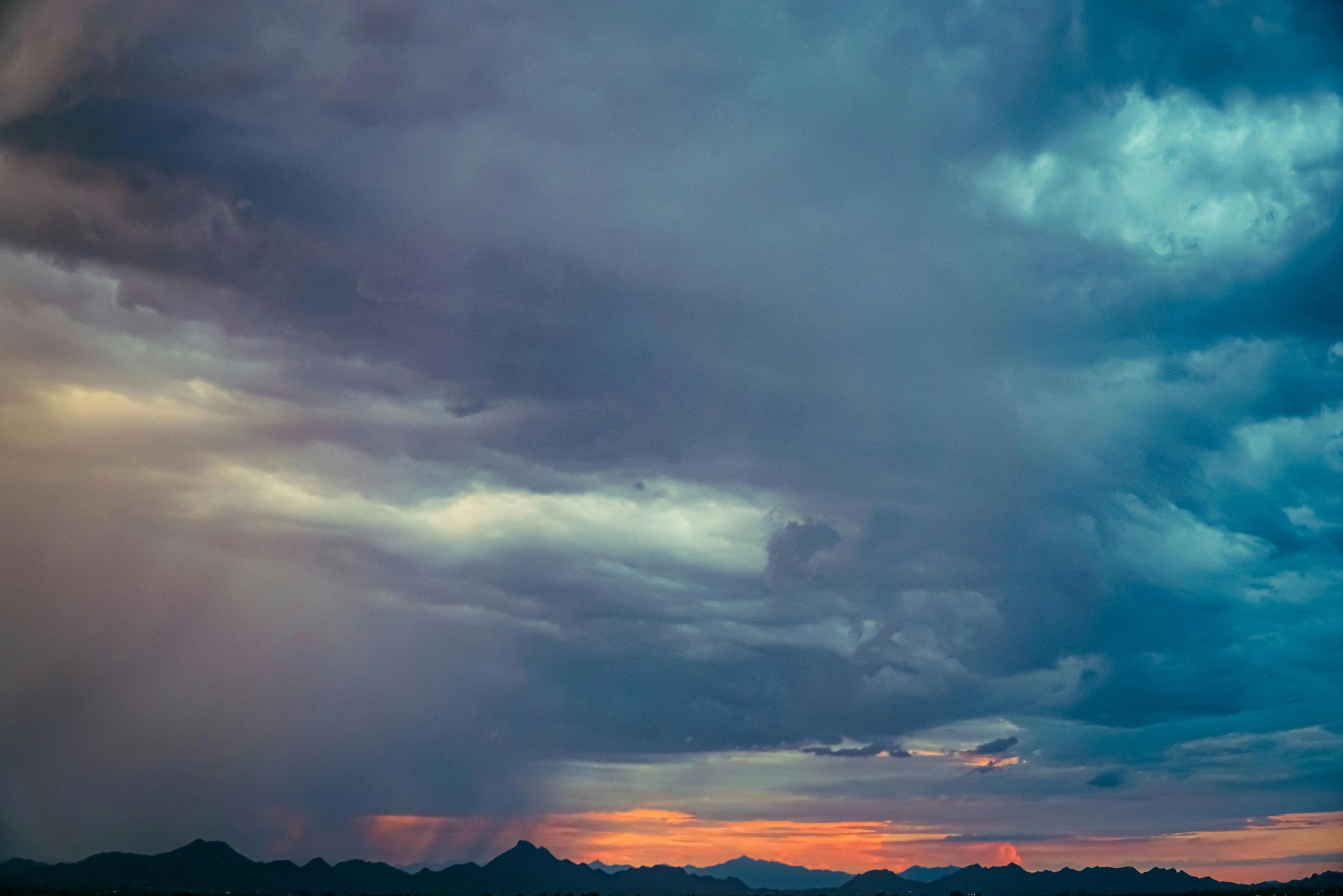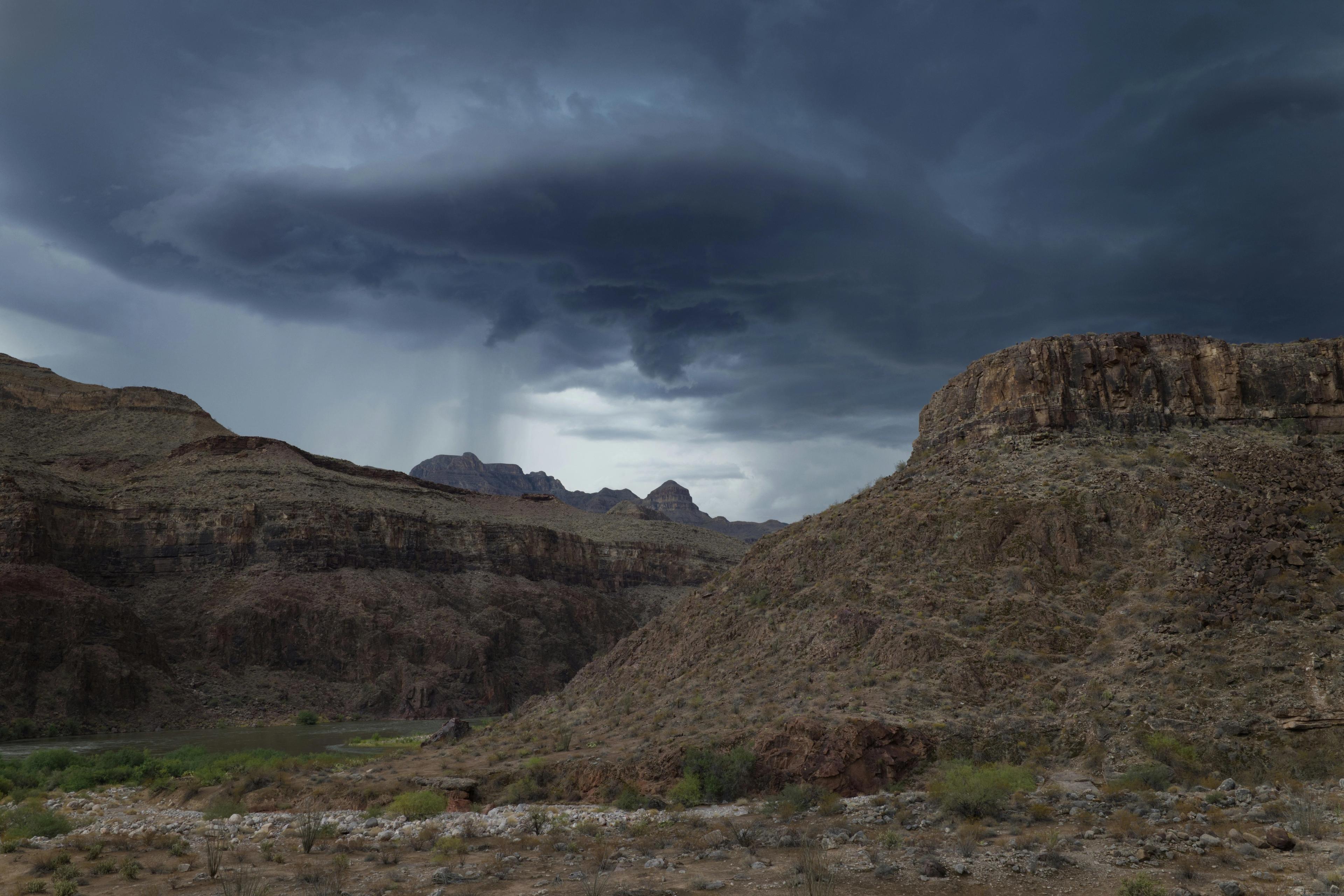
A strong storm system off the California coast is lining up to make the middle of the week a mess, at least in the weather sense. The setup is pulling well-above-normal moisture into Arizona, and that means showers, thunderstorms and the kind of rain chances people usually pretend to welcome until they have to drive in it.
According to the forecast, Thursday is now an ABC15 Weather Action Day. The system is bringing near-record moisture for this time of year, with some of it tied to the remnants of Trudy south of Baja California. That extra moisture is the fuel here, and it is not being subtle about it.
Today is expected to be the warmest day of the week, with Valley highs in the low 90s. After that, clouds build tonight, and a few showers and storms could develop overnight. By Wednesday, scattered showers and storms are possible, and rain coverage is expected to ramp up Wednesday evening.
The most widespread and heaviest rain is expected Wednesday night into Thursday, right in time for the Thursday morning commute. Rain chances climb as high as 80%, which is the sort of number that makes a forecast sound less like a suggestion and more like a warning label.
Some storms could also turn severe from Wednesday into Thursday morning. The strongest storms could bring large hail, damaging winds and even a tornado or two. Most of the Valley could pick up up to an inch of rain, with more where storms move over the same areas. The foothills north and east of Phoenix could see one and a half to two and a half inches.
That is the part of the forecast that matters most: this is not just a passing shower setup, but a system with enough moisture and instability to create real impacts across the state. Heavy rain and flash flooding are both on the table, and the timing could make the commute especially unpleasant.
Bill Farr