
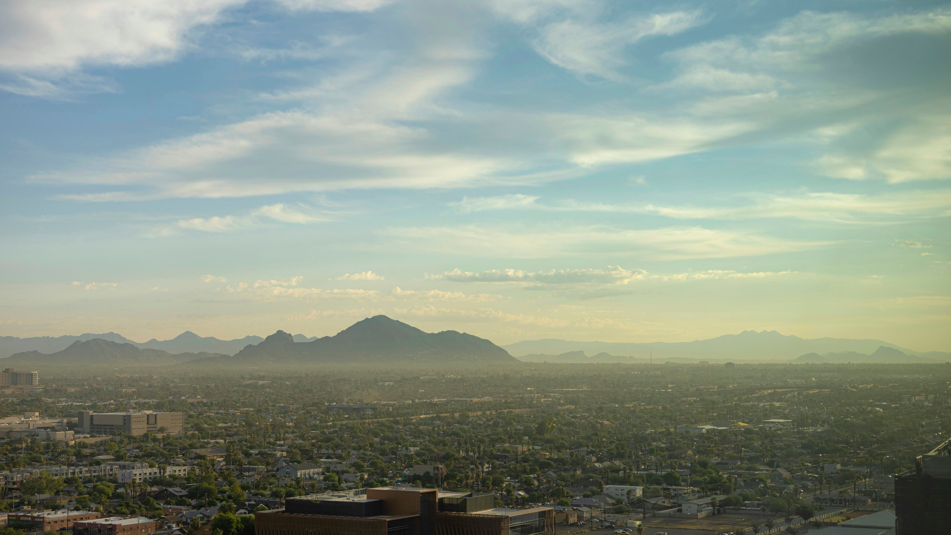
I think this is one of those forecasts that manages to be annoying and promising at the same time. The heat is back, because of course it is, but the Valley also has a real shot at some weekend relief. In Arizona, that counts as a plot twist.
According to the forecast, highs are expected in the upper 90s today, then drop to the upper 70s by Wednesday morning. That little cooldown is nice, but it does not last long. The 100s return Wednesday afternoon at 102, then climb to 103 on Thursday. Friday stays warm and breezy at 101, with gusts near 20 mph in the Valley. So yes, the air will continue to feel like it has a personal grudge.
Weekend storm chances
The bigger story is what comes next. Both Sunday and Monday are First Alert Weather Days for storms fueled by the remnants of Hurricane Rachel. In the Valley, the forecast calls for upper 80s on Sunday, with low 90s on Monday. Rain chances begin Saturday night and peak on Sunday, which is the kind of timing that makes everyone immediately start checking the sky like it owes them money.
That setup is why this forecast matters. After a week that swings back into triple digits, even a modest chance of rain feels like a public service announcement. It may not erase the heat, but it does interrupt the usual Arizona routine of pretending October is still summer with better branding.
The breeze is part of the story too. It sticks around through the weekend, which should help keep things from feeling completely stagnant. That is not the same thing as comfort, but in Phoenix weather terms, we take our victories where we can get them.
So my read is simple: the return of triple-digit temperatures is the bad news, and the weekend storm chances are the part worth watching. If the forecast holds, Sunday could be the day the Valley finally gets a little help from the sky. Around here, that’s not just weather — that’s a negotiation.
— Bill Farr